
beginnerLIVE BATCH
Professional GIS Mapping & Geospatial Technology Training Program
Learn professional GIS mapping, spatial data analysis, digital cartography, and geospatial technologies through practical, industry-oriented training. Develop the skills required to create maps, analyse geographic data, and work on real-world GIS projects across multiple industries.
0.0 (0 reviews) English,Hindi 0 enrolled
Instructor: VIRIKS Super Admin
₹3,999₹5,999
365 days validity
Full HD lectures + notes
Live interactive classes
Description
The Professional GIS Mapping & Geospatial Technology Training Program is designed for students, graduates, working professionals, and individuals looking to build a career in the rapidly growing geospatial industry.
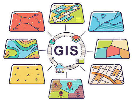
This program provides comprehensive knowledge of Geographic Information Systems (GIS), digital mapping, spatial data management, satellite imagery, GPS technology, and geographic data analysis.
Participants will gain hands-on experience with industry-relevant GIS software and tools such as QGIS, ArcGIS, Google Earth Pro, and GPS-based mapping technologies.
The training focuses on practical applications, project-based learning, and professional skills required for GIS-related employment opportunities in government projects, infrastructure development, urban planning, environmental research, and private-sector organizations.